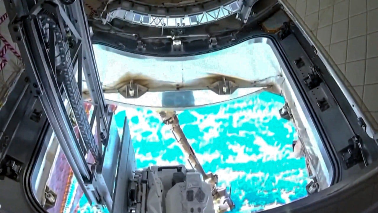
The media machine treats every high-resolution photograph snapped by the Tiangong space station as a geopolitical thriller. When state media released those sharp, nadir-pointing optics of Hong Kong's Victoria Harbour, the usual chorus of defense analysts and Sunday-supplement pundits immediately hyperventilated. They screamed about orbital surveillance, real-time targeting vectors, and totalitarian oversight from three hundred kilometers up.
They are missing the plot entirely.
Focusing solely on the military utility of crewed Earth observation is like buying a Ferrari exclusively to check your mailbox. It misses the engineering reality, the economics of orbital logistics, and the structural shift happening in low Earth orbit right now.
I have spent the better part of a decade talking to aerospace engineers who build these optical payloads, and the obsession with weaponizing every pixel is a lazy substitute for understanding what is actually happening in space. Tiangong is not a spy satellite. It is a permanent industrial laboratory designed to validate domestic supply chains, test autonomous optical calibration, and prove that Beijing can run an independent orbital outpost without relying on aging Western technology or multilateral cooperatives.
The Myth Of The Proprietary Spy Eye
Let us dispense with the amateur panic over spatial resolution. Commercial satellites from Maxar, Planet, and various European constellations routinely photograph license plates from orbit. Private companies sell sub-meter multispectral imagery to anyone with a corporate credit card. If Beijing wanted to spy on the protests, the docks, or the financial district of Hong Kong, they would not power up a crewed national laboratory, wait for the exact orbital inclination to align over the Pearl River Delta, and task astronauts with manually pointing a camera.
That is not how reconnaissance works. Dedicated military reconnaissance satellites sit in sun-synchronous or highly elliptical orbits specifically optimized for persistent dwell time and repeatable illumination angles. Tiangong orbits at an inclination of roughly forty-one degrees. It passes over Hong Kong intermittently, at varying times of day, under changing lighting conditions. It is an astronomical hurdle race, not a stationary sniper perch.
When Tiangong’s external cameras lock onto a terrestrial target like Hong Kong, the engineers on the ground are not looking for troop movements. They are running calibration routines for adaptive optics, testing atmospheric correction algorithms in high-humidity coastal zones, and stress-testing the station’s attitude control system.
Optics in space degrade rapidly. Thermal expansion from orbital sunrise and sunset warps primary mirrors. Micro-meteoroid pitting clouds protective quartz windows. Cosmic radiation yellows sensor arrays. Capturing a hyper-detailed image of a dense, high-contrast urban environment like Hong Kong is the ultimate stress test for an autonomous imaging pipeline. It proves the hardware can compensate for atmospheric haze, jitter from life-support pumps, and thermal drift without human intervention.
The Geopolitical Flex Is Industrial, Not Tactical
If the imagery release is not a military threat, what is it? It is a signal to domestic and international markets regarding technological sovereignty.
For decades, the global space economy operated under a unipolar assumption: advanced optoelectronics, radiation-hardened microprocessors, and high-speed downlink protocols were the exclusive domain of NASA, ESA, and a tight cluster of defense contractors in the United States and Japan. China’s entire crewed space program has been systematically dismantling that monopoly piece by piece.
When Tiangong captures crisp imagery of a global financial hub and broadcasts it in 4K resolution, the target audience is not the Pentagon. The target audience is the industrial base in Shenzhen, Xi'an, and Shanghai. It tells domestic suppliers that their domestic silicon, their locally grown synthetic aperture materials, and their homegrown sensor chips can survive the thermal vacuum of space and deliver commercial-grade telemetry.
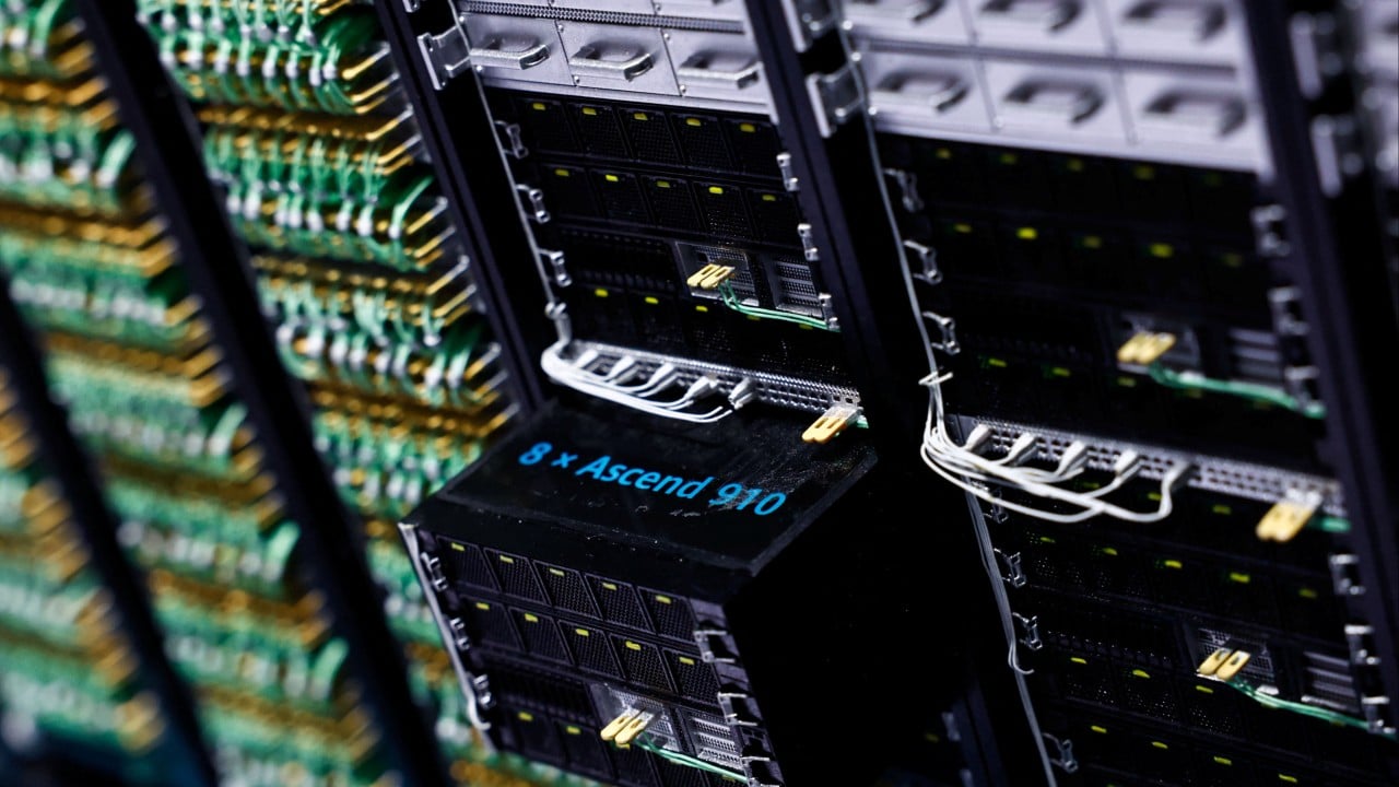
This is import substitution taken to orbital extremes. While Western space agencies grapple with supply chain bottlenecks, soaring launch costs, and bureaucratic sclerosis, the Chinese space program operates with vertical integration that would make Henry Ford envious. Every component on Tiangong, from the toilet valves to the primary imaging mirrors, is designed to be sourced within domestic borders.
By publishing these images, Beijing is signaling that its space infrastructure is completely decoupled from Western supply chains. That is far more threatening to Western aerospace hegemony than any simulated military reconnaissance run.
The Engineering Reality Of Crewed Earth Observation
Let us look at the mechanics that the pundits gloss over. Why use a crewed station for Earth observation when robotic platforms are cheaper and more efficient?
Robots are great for dull, dirty, and dangerous tasks. But human-tended platforms offer something machines still struggle with: adaptive experimentation.
When an astronaut on Tiangong looks out the window or monitors an automated imaging sequence, they can override parameters on the fly. They can adjust exposure brackets when cloud shadows shift over complex topography like Hong Kong's mountainous terrain. They can manually swap out focal lenses or test experimental sensor packages mounted to the exterior airlock without launching an entirely new satellite.
Furthermore, crewed stations serve as high-altitude testbeds for quantum communication and optical data relay. Transmitting gigabytes of high-resolution imagery from orbit down to ground stations requires immense bandwidth. By testing high-speed laser communication links between Tiangong and ground stations in mainland China, engineers are building the backbone for future deep-space networks. Hong Kong serves as an ideal high-density urban testing ground for optical signal attenuation through thick tropospheric interference.
If you view this through the lens of pure military strategy, you will miscalculate every move. You will spend billions trying to counter orbital capabilities that are actually byproducts of manufacturing validation and scientific baseline testing.
The Cost Of Misunderstanding The Game
This brings us to the dangerous policy failures born of lazy analysis. When defense commentators frame every civilian or scientific milestone in low Earth orbit as an aggressive military escalation, they trigger a reactive cycle of defense spending that prioritizes the wrong hardware.
We see Western policymakers scrambling to fund anti-satellite missiles and electronic jamming systems to blind platforms that are primarily running material science experiments and optical calibration tests. It is a massive misallocation of capital. It assumes that space is just another theater for terrestrial trench warfare, ignoring the fact that the real competition in orbit is economic sustainability, manufacturing yields, and the ability to extract commercial value from microgravity and unobstructed vantage points.
Hong Kong was photographed because it offers a dense, high-contrast, notoriously difficult optical environment packed with moving maritime traffic, varied elevations, and complex atmospheric pollution layers. It is an engineering proving ground, nothing more and nothing less.
Stop looking for a geopolitical boogeyman behind every orbital snapshot. Start looking at the industrial supply chains making those snapshots possible. That is where the actual shift in global power is taking place, and no amount of space-war rhetoric is going to change the math.