The air changes before the sky does.
Anyone who has spent a summer in the Pearl River Delta knows the specific, suffocating heaviness that heralds a tropical cyclone. It feels as though the sky has lowered a warm, damp wool blanket over the concrete skyscrapers of Hong Kong. Humidity climbs toward a dripping peak. The breeze vanishes completely, leaving the harbor unnaturally still, flat as green glass.
Out in the open waters east of the Philippines, a low-pressure disturbance gathers heat from an ocean that has been cooking under the equatorial sun for months. Meteorologists watch satellite feeds as convective clouds wrap around a tightening center. The system is gathering power, threatening to cross the threshold from a disorganized tropical storm into a full-fledged typhoon before setting its sights north-northwest toward the coast of southern China.
For the millions of people living along its potential trajectory, this is not a abstract weather report. It is a timer ticking down in the background of everyday life.
The Anomaly in the Water
To understand why a storm hundreds of miles away makes a city pause, you have to understand how a tropical cyclone feeds.
Imagine a massive atmospheric heat engine. Ocean water acts as the fuel tank. When sea surface temperatures climb well above twenty-six degrees Celsius, water evaporates rapidly, carrying immense latent heat upwards into the troposphere. As this warm, moist air rises, it leaves behind an area of lower pressure near the surface. Surrounding air rushes in to fill the void, only to be twisted by the rotational force of the Earth.
Right now, the waters off the eastern seaboard of the Philippine archipelago are warm enough to run that engine at full throttle.
As the storm moves northwest, atmospheric steering currents created by the high-pressure ridge over the Pacific guide it toward the Luzon Strait. If it stays over ocean water, it retains its moisture feed and continues to compress its wind field. The tighter the spiral, the faster the eyewall spins.
For fishermen working the coastal waters of Northern Luzon, the warning signs come long before the official weather bulletins reach their phones. The ocean swells begin to change rhythm. Long, ocean-spanning waves hit the shore with a heavy, deep thud every fifteen seconds—a rhythmic heartbeat generated by a tempest still hundreds of nautical miles over the horizon. Boats are dragged far up onto the gravel beaches, tied down with heavy rope to trees that have survived dozens of seasons just like this one.
A Tale of Two Coastlines
Weather forecasting has advanced dramatically over the last two decades. We no longer rely solely on pressure readings from lonely sea buoys and mountain lookouts. Supercomputers run ensemble models, simulating dozens of potential tracks based on subtle shifts in global wind currents.
Yet, despite all our processing power, predicting the exact intensity and landfall point of a typhoon remains a deeply subtle science. A shift of fifty miles to the east can mean the difference between a city experiencing moderate tropical storm winds or taking a direct hit from the eyewall's violent right-front quadrant, where wind speed and storm motion combine to produce maximum destruction.
Consider a small shop owner in Hong Kong's Western District. Let us call her Mrs. Chen, a hypothetical stand-in for the thousands of merchants who manage dried seafood shops along Des Voeux Road West.
When the local observatory hints that a typhoon signal might be raised over the weekend, Mrs. Chen's entire operational focus shifts. Her inventory sits in cardboard boxes and wooden drawers just inches off the street level. If the storm coincides with a high tide, storm surge can push seawater straight up through the storm drains, flooding the narrow streets.
For Mrs. Chen, the storm is a physical math problem:
- How many wooden flood boards need to be slotted into the shop door?
- Is the duct tape applied to the glass windows strong enough to prevent shattering from high-speed wind vibration?
- Should she clear out the ground floor entirely and move hundreds of thousands of dollars in stock upstairs?
Multiply Mrs. Chen by a city of seven million people, and you begin to grasp the sheer operational friction caused by an approaching typhoon. Construction cranes across the city are locked into place to swing freely with the wind. Container terminals in Kwai Tsing prepare to halt operations, tying down massive gantries. Ferries connecting the outer islands double-check their mooring lines.
The Anatomy of Waiting
There is a psychological cadence to a typhoon weekend.
It starts with the announcement of potential intensification. People check their weather apps more frequently, glancing at the radar loops showing red and yellow bands swirling off the coast of Luzon. The conversation on the street shifts subtly. Plans for weekend hikes in the New Territories are quietly canceled. Grocery store shelves clear out of basic provisions—bread, instant noodles, bottled water—not out of panic, but out of a long-ingrained cultural habit of preparation.
Then comes the quiet before the storm.
As the storm approaches the coast, it pulls air toward its center, creating a localized phenomenon where the air over the target city sinks and warms. The sky turns a brilliant, almost unnatural blue. Temperatures spike. Pollution gets trapped near the ground, turning the horizon hazy. It is a deceptive calm, a atmospheric deep breath before the exhale.
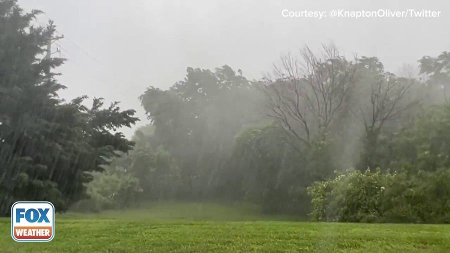
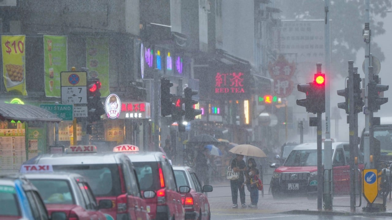
When the outer rainbands finally sweep across the coast, the transition is abrupt. The sky grays over within thirty minutes. Horizontal rain sheets down the sides of high-rises. The wind begins to howl through the narrow concrete canyons between apartment towers, creating high-pitched whistles that echo off glass facades.
For those watching from high above Victoria Harbour, the power of nature becomes visually staggering. The massive container ships anchored in the bay head out to open water or anchor firmly in designated typhoon shelters, their engines idling as they fight the force of the wind and current.
The Unseen Mechanics of Coastal Defense
Hong Kong is arguably one of the most storm-prepared places on the planet. Decades of living in the path of Western Pacific typhoons have forced the city to build its infrastructure around extreme weather.
High-rise buildings are engineered to sway up to a meter in super-typhoon winds, absorbing the kinetic energy rather than snapping. Mountain slopes that surround the urban core are covered in concrete retention walls and complex drainage networks designed to handle hundreds of millimeters of rain in a few hours, preventing catastrophic landslides that plagued the city in the mid-twentieth century.
Underneath the city streets lies a vast underground flood storage tank system. Deep tunnels intercept storm run-off from the hills before it ever reaches the crowded low-lying urban areas, holding millions of gallons of water until the surge subsides and it can be safely pumped back out into the sea.
Yet, no amount of engineering completely eliminates risk.
As the storm tracks closer over the weekend, subtle changes in its internal dynamics—an eyewall replacement cycle, a sudden patch of dry air pulled into the core, or an unexpected change in sea surface temperature—can alter its path or strength within hours. A storm that looks like a minor blow on Friday morning can rapidly intensify into a major event by Saturday night.
This inherent uncertainty is why weather authorities issue warnings early and continuously refine their track predictions. The goal is not certainty; it is readiness.
The Gathering Horizon
As the weekend approaches, the ocean off the coast of Luzon continues to churn. Satellite images show the storm's cloud tops cooling as they reach high into the atmosphere, a classic sign of an intensifying system.
People along the southern Chinese coastline watch the radar, secure their windows, and check on their neighbors. They know that while human technology can track every kilometer of the storm's progress, the ocean and atmosphere still hold the ultimate authority.
The glass on the barometer in Victoria Harbour continues its steady, inevitable decline. The wind outside is beginning to pick up, carrying the salt spray of the open sea deep into the heart of the city.